Search Constraints
You searched for:
Genre cartographic material
Remove constraint Genre: cartographic materialWork Type drawing
Remove constraint Work Type: drawingSearch Results
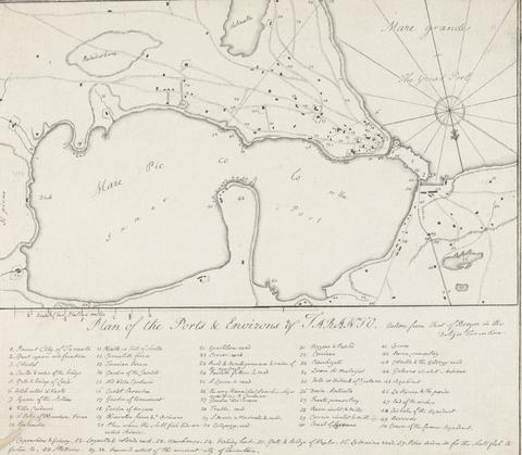
1
- Plan of the Ports & Environs of Taranto, Italy
- 1777 to 1779
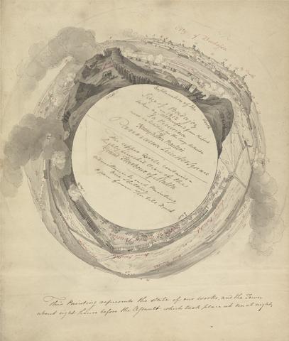
2
- Siege at Badajoz
- ca. 1813
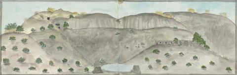
3
- The Waterfall at Dhumar Lena, Dry Except in Rains
- between 1793 and 1795
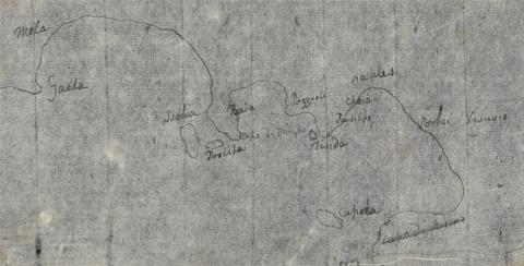
4
- Gulf of Naples Map
- undated
![Mrs. P. D. H. Page Map of Raleigh's Virginia: The East Coast of North America from Cape Lookout to Chesapeake Bay, after original by John White in the British Museum [Sir Walter Raleigh's Virginia, No. 111 A]](https://media.collections.yale.edu/thumbnail/ycba/aa273bf1-4d54-4726-99f1-aa8836010023)
5
- Map of Raleigh's Virginia: The East Coast of North America from Cape Lookout to Chesapeake Bay, after original by John White in the British Museum [Sir Walter Raleigh's Virginia, No. 111 A]
- undated
![Mrs. P. D. H. Page Map of North America from Florida to Chesapeake Bay, after the original by John White in the British Museum [Sir Walter Raleigh's Virginia, No. 110]](https://media.collections.yale.edu/thumbnail/ycba/f14d2599-644f-40b2-8aee-01feeb08ac1a)
6
- Map of North America from Florida to Chesapeake Bay, after the original by John White in the British Museum [Sir Walter Raleigh's Virginia, No. 110]
- undated
![Mrs. P. D. H. Page Coastal Profiles of Dominica and Santa Cruz, after the original by John White in the British Museum [Caribbean and Oceanic, No. 2]](https://media.collections.yale.edu/thumbnail/ycba/87265a76-e03b-41c1-8f1b-d4a20ba2b191)
7
- Coastal Profiles of Dominica and Santa Cruz, after the original by John White in the British Museum [Caribbean and Oceanic, No. 2]
- undated
8
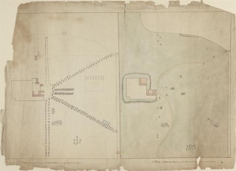
- A Plan, from an eye-survey of Cobham Hall and the park to the west, and a plan of Cobham Hall and the park as proposed to be altered
- ca. 1790
9
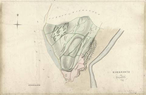
- Kirkeoch and Nunmill
- undated

10
- Netherthird
- 1812

11
- Nuntons
- undated
12
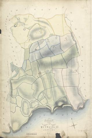
- Howel; Burnside; Silverhill; Gregory and Low Milton
- undated
13
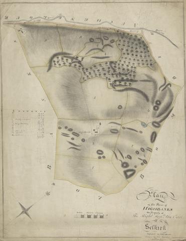
- Farm of Highbanks
- 1813
14
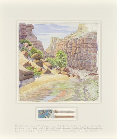
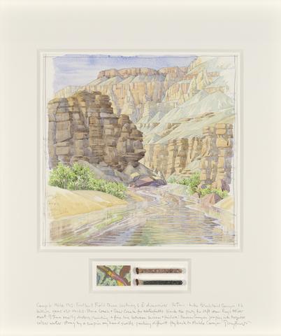
- Camp 1
- 2017
15
- The Temple of Aphaia at Aegina: Fieldnotes with Moulding and Column Flute Profiles
- undated
16
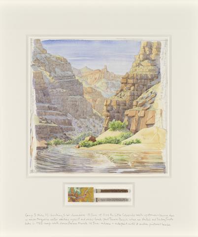
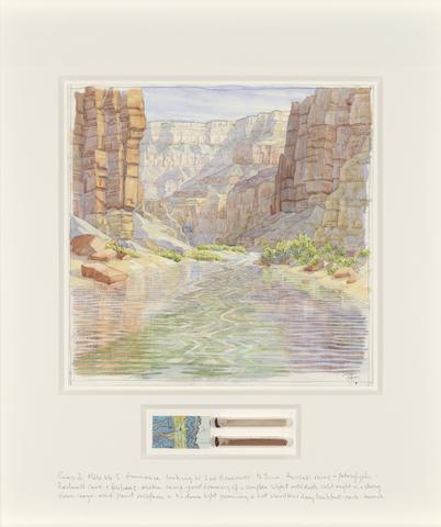
- Camp 3
- 2017
17
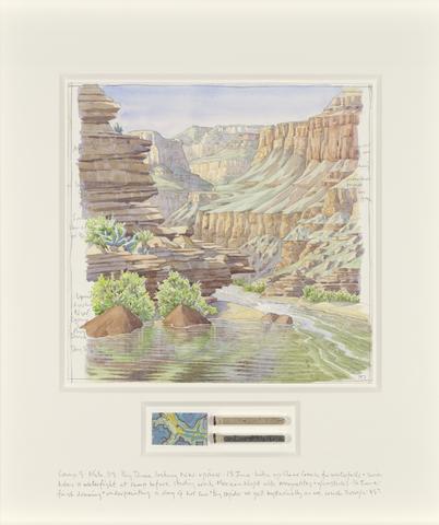
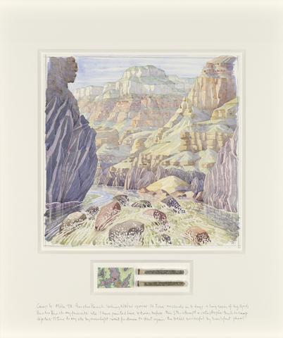
- Camp 5
- 2017
18
- Camp 6
- 2017
19
- Camp 2
- 2017
20
- Camp 4
- 2017

21
- View of Elba and Porto Ferrajo
- 1815
22
- Flower Garden at Middleton Park, Oxfordshire
- 1811