Search Constraints
You searched for:
On-site Access Accessible by appointment in the Study Room
Remove constraint On-site Access: Accessible by appointment in the Study RoomPeriod 18th century
Remove constraint Period: 18th centuryForm genre ss Maps.
Remove constraint Form genre ss: Maps.Search Results
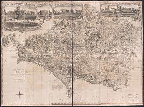
- Date:
- June 1st, 1795
- Physical Description:
- 1 map on 6 sheets : hand colored ; sheets 53 x 44 cm
- Collection:
- Rare Books and Manuscripts
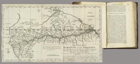
- Date:
- MDCCXII [1712]
- Physical Description:
- 2 volumes : illustrations, maps ; 20 cm
- Collection:
- Rare Books and Manuscripts
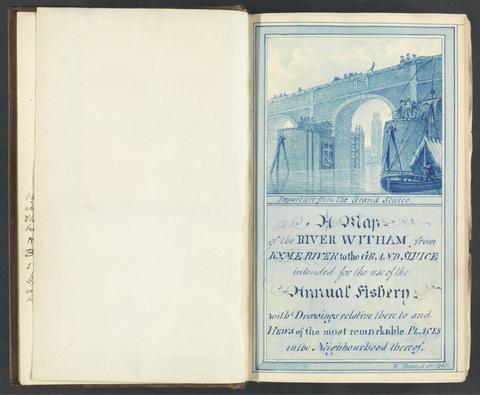
- Date:
- 1784-1800
- Physical Description:
- 2 v. ; ill. ; 22 cm.
- Collection:
- Rare Books and Manuscripts
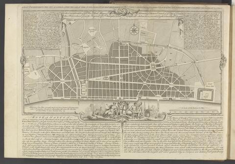
- Date:
- MDCCLXVU [1766]
- Physical Description:
- xv, [1], 132 pages, IIII folded leaves of plates : plans ; 27 cm
- Collection:
- Rare Books and Manuscripts
![A plan of mathematical learning taught in the Royal Academy, Portsmouth : performed by a student there 177[blank].](https://media.collections.yale.edu/thumbnail/ycba/c0aa2982-81d7-4478-bddd-d57c5423beee)
- Date:
- approximately 1798-1799
- Physical Description:
- 518 pages : illustrations, diagrams, maps ; 37 cm
- Collection:
- Rare Books and Manuscripts
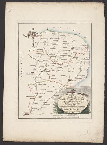
- Date:
- [between 1796 and 1809]
- Physical Description:
- 1 map : engraving ; 26 x 20 cm, on sheet 38 x 28 cm
- Collection:
- Rare Books and Manuscripts
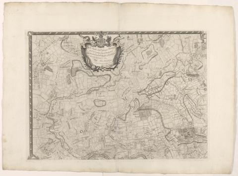
- Date:
- [1763]
- Physical Description:
- 1 map on 4 sheets ; 86 x 125 cm., sheets 58 x 79 cm.
- Collection:
- Rare Books and Manuscripts
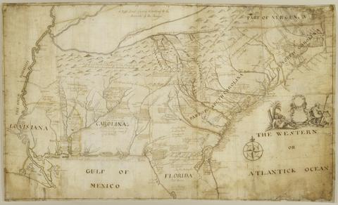
- Date:
- 1721
- Physical Description:
- 1 map : pen and black and brown ink, with red, yellow, and blue-gray wash ; 78 x 132 cm.
- Collection:
- Rare Books and Manuscripts
- Credit Line:
- Yale Center for British Art, Gift of the Acorn Foundation, Inc., Alexander O. Vietor, Yale BA 1936, President, in honor of Paul Mellon
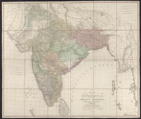
- Date:
- 1788
- Physical Description:
- 1 map : hand col., mounted on linen ; 105 x 124 cm., folded to 27 x 21 cm., in case 27 x 23 cm.
- Collection:
- Rare Books and Manuscripts

- Date:
- 1759
- Physical Description:
- 510 pages : illustrations, diagrams, maps ; 30 cm
- Collection:
- Rare Books and Manuscripts

- Date:
- 1757
- Physical Description:
- 1 map ; 50 x 68 cm., on sheet 55 x 72 cm.
- Collection:
- Rare Books and Manuscripts

- Date:
- 1798
- Physical Description:
- xix, [1], 209, [1] pages, [3] leaves of plates (1 folded) : illustrations, maps ; 29 cm
- Collection:
- Rare Books and Manuscripts

- Date:
- MDCCLXVI [1766]
- Physical Description:
- 2 volumes : illustrations, maps ; 20 cm
- Collection:
- Rare Books and Manuscripts

- Date:
- MDCCXXXVIII [1738]
- Physical Description:
- [8], 187, [1] pages, ([2] folded leaves of plates) : maps ; 25 cm
- Collection:
- Rare Books and Manuscripts

- Date:
- l'an VI de la République, 1798
- Physical Description:
- 4 volumes : illustrations ; 21 cm
- Collection:
- Rare Books and Manuscripts

- Date:
- [between 1762 and 1773]
- Physical Description:
- 1 map on 2 sheets ; 120 x 188 cm., sheets 67 x 108 cm.
- Collection:
- Rare Books and Manuscripts

- Date:
- 1789
- Physical Description:
- xxix [i.e., 27], [3], 360, 47, [1] pages, [22] leaves of plates (some folded) : illustrations, maps ; 32 cm
- Collection:
- Rare Books and Manuscripts

- Physical Description:
- v. ; 18 cm
- Collection:
- Rare Books and Manuscripts

- Date:
- Jany. 11th, 1786
- Physical Description:
- 1 map : mounted on linen ; 58 x 102 cm, on sheet 59 x 105 cm., folded to 19 x 14 cm. in folder 28 cm.
- Collection:
- Rare Books and Manuscripts

- Date:
- [1775?]
- Physical Description:
- 1 map on 8 sheets : hand col., mounted on linen ; 135 x 192 cm., sheets 70 x 51 or smaller.
- Collection:
- Rare Books and Manuscripts

- Date:
- 1799
- Physical Description:
- 2 volumes : maps, charts ; 28 cm
- Collection:
- Rare Books and Manuscripts

- Date:
- 1797
- Physical Description:
- 1 map on 6 sheets ; 124 x 183 cm, each sheet 62 x 61 cm
- Collection:
- Rare Books and Manuscripts

- Date:
- circa [1800?]
- Physical Description:
- 1 map : silk embroidery on linen ; 49 x 46 cm
- Collection:
- Rare Books and Manuscripts

- Date:
- [1773]
- Physical Description:
- 1 map on 18 sheets ; 273 x 189 cm, sheets 54 x 72 cm
- Collection:
- Rare Books and Manuscripts

- Date:
- MDCCLXIX [1769]
- Physical Description:
- [8], 122 pages, [2] leaves of plates, (1 folded) : illustrations, maps ; 28 cm (4to)
- Collection:
- Rare Books and Manuscripts

- Date:
- [1782]
- Physical Description:
- 1 map on 9 sheets ; sheets 54 x 71 cm + 1 index map (52 x 71 cm)
- Collection:
- Rare Books and Manuscripts

- Date:
- [approximately 1715?]
- Physical Description:
- 1 map : engraving, hand-colored ; 41 x 33 cm, on sheet 47 x 53 cm
- Collection:
- Rare Books and Manuscripts

- Date:
- 1785
- Physical Description:
- 1 map : hand col., dissected and mounted on linen ; 89 x 84 cm., folded in slipcase 25 x 23 cm.
- Collection:
- Rare Books and Manuscripts

- Date:
- 1795
- Physical Description:
- [6], 127 pages, [3] pages, [24] leaves of plates ([1] folded) : illustrations, maps ; 44 cm
- Collection:
- Rare Books and Manuscripts

- Date:
- [1730]
- Physical Description:
- 1 map : engraving, hand-colored ; 48 x 56 cm., on sheet 52 x 60 cm
- Collection:
- Rare Books and Manuscripts

- Date:
- 1744-1760
- Physical Description:
- 1 map in 182 sheets : engraved, part. col. some sheets ; 58.5 x 90 cm. each ; 4 index sheets.
- Collection:
- Rare Books and Manuscripts

- Date:
- [1749 October 3]
- Physical Description:
- 1 map ; 16 x 4 cm, on sheet 30 x 42 cm
- Collection:
- Rare Books and Manuscripts

- Date:
- MDCCLXXV [1775]
- Physical Description:
- [12], 464 pages, ([1] folded leaf of plates) : map ; 28 cm (4to)
- Collection:
- Rare Books and Manuscripts

- Date:
- 1749
- Physical Description:
- 1 map ; 63 x 47 cm, on sheet 66 x 50 cm
- Collection:
- Rare Books and Manuscripts

- Date:
- 1768
- Physical Description:
- 2 v. : ill. (some folded), 9 maps, plan ; 48 x 25 cm
- Collection:
- Rare Books and Manuscripts

- Date:
- 1794
- Physical Description:
- 2 volumes : maps, plans ; 28 cm (4to)
- Collection:
- Rare Books and Manuscripts

- Date:
- [that is, 1757]
- Physical Description:
- 1 map in 4 sheets : hand colored ; 136 x 192 cm, sheets 71 x 99 cm and 71 x 100 cm
- Collection:
- Rare Books and Manuscripts

- Date:
- MDCCLXXIX [1789]
- Physical Description:
- xii, 384, xl pages, [20] leaves of plates (some folded) : illustrations, maps ; 32 cm
- Collection:
- Rare Books and Manuscripts

- Date:
- ca. 1750-ca.1850
- Physical Description:
- approximately 1,500 items
- Collection:
- Rare Books and Manuscripts
- Credit Line:
- Yale Center for British Art, Paul Mellon Collection

- Date:
- 1719
- Physical Description:
- 1 map : engraving, hand colored ; 49 x 58 cm, on sheet 55 x 63 cm
- Collection:
- Rare Books and Manuscripts

- Physical Description:
- 23, [5] pages, [1] folded leaf of plates : maps ; 23 cm
- Collection:
- Rare Books and Manuscripts

- Date:
- MDCCLXXVI [1776]
- Physical Description:
- 1 atlas ([2] leaves, [58] leaves of plates (some folded)) : 29 maps ; 54 cm (fol.)
- Collection:
- Rare Books and Manuscripts
43. America.

- Date:
- [after 1727]
- Physical Description:
- 1 map : outline color ; 56.7 x 97.3 cm
- Collection:
- Rare Books and Manuscripts

- Date:
- MDCCLXXXIX [1789]
- Physical Description:
- 2 volumes : illustrations ; 21 cm
- Collection:
- Rare Books and Manuscripts

- Date:
- 1783
- Physical Description:
- 1 map on 6 sheets : hand col. ; 120 x 162 cm on sheets 64 x 56 cm
- Collection:
- Rare Books and Manuscripts

- Date:
- MDCCLXXXIV [1784]
- Physical Description:
- 24 pages, [21] folded leaves of plates : illustrations, plans ; 21 cm
- Collection:
- Rare Books and Manuscripts

- Date:
- 1794
- Physical Description:
- [2], 56 pages, [16] leaves of plates : illustrations, maps ; 44 cm
- Collection:
- Rare Books and Manuscripts

- Date:
- 1719
- Physical Description:
- 1 map ; 48 x 54 cm, on sheet 53 x 59 cm
- Collection:
- Rare Books and Manuscripts

- Date:
- 1771
- Physical Description:
- 1 map : engraving, hand colored ; 48 x 63 cm, on sheet 53 x 71 cm
- Collection:
- Rare Books and Manuscripts

- Date:
- MDCCLXX [1770]
- Physical Description:
- viii, 99, [1] pages, [8] leaves of plates (7 folded) : maps, plans ; 28 cm (4to)
- Collection:
- Rare Books and Manuscripts

- Date:
- [approximately 1705]
- Physical Description:
- 1 map : engraving, hand-colored ; 46 x 58 cm, on sheet 54 x 65 cm
- Collection:
- Rare Books and Manuscripts

- Date:
- 1704
- Physical Description:
- 3 volumes in 1 : illustrations, portraits, maps ; 20 cm
- Collection:
- Rare Books and Manuscripts

- Date:
- 1724
- Physical Description:
- 1 atlas ([58] leaves) : maps ; 17 x 20 cm
- Collection:
- Rare Books and Manuscripts

- Date:
- [1723]
- Physical Description:
- 1 map on 2 sheets ; 106 x 125 cm, sheets 55 x 72 cm
- Collection:
- Rare Books and Manuscripts

- Date:
- 1797
- Physical Description:
- 1 map : silk embroidery on linen ; 57 x 50 cm
- Collection:
- Rare Books and Manuscripts

- Date:
- [1717?]
- Physical Description:
- 1 map on 4 sheets ; sheets 47 x 146 cm or smaller, folded in cover 48 x 31 cm
- Collection:
- Rare Books and Manuscripts

- Physical Description:
- 13 volumes : illustrations, maps ; 54 cm
- Collection:
- Rare Books and Manuscripts
- Credit Line:
- Yale Center for British Art, Paul Mellon Collection

- Date:
- 1796
- Physical Description:
- 1 map : watercolor, pen and black ink ; sheet 55 x 41 cm
- Collection:
- Rare Books and Manuscripts

- Date:
- [1762?]
- Physical Description:
- 1 map on 4 sheets : hand colored ; 87 x 89 cm
- Collection:
- Rare Books and Manuscripts

- Date:
- MDCCLII [1752]
- Physical Description:
- [4], vi, 84, 95, [1] pages, [3] folded leaves of plates : illustrations, maps ; 22 cm
- Collection:
- Rare Books and Manuscripts

- Date:
- MDCCXXIX [1729]
- Physical Description:
- 4 volumes : illustrations, maps, tables ; 21 cm (8vo)
- Collection:
- Rare Books and Manuscripts

- Date:
- [approximately 1715?]
- Physical Description:
- 1 map : engraving, hand-colored ; 32 x 46 cm, on sheet 46 x 58 cm
- Collection:
- Rare Books and Manuscripts

- Date:
- 1759
- Physical Description:
- 1 map ; 17.8 x 16 cm
- Collection:
- Rare Books and Manuscripts
- Credit Line:
- Yale Center for British Art, Gift of David Alan Richards, Yale BA 1967, JD 1972

- Date:
- [1750]
- Physical Description:
- 1 map : engraving ; 69 x 51 cm, on sheet 73 x 56 cm
- Collection:
- Rare Books and Manuscripts

- Date:
- MDCCXLVII [1748]
- Physical Description:
- xxviii, 336 [i.e. 344] pages, [9] leaves of plates, (4 folded) : illustrations, maps ; 22 cm (8vo)
- Collection:
- Rare Books and Manuscripts

- Date:
- Febry 13th, 1755
- Physical Description:
- 1 map : engraving ; 136 x 195 cm, on sheets 77 x 57 cm
- Collection:
- Rare Books and Manuscripts

- Date:
- 1798
- Physical Description:
- 1 volume (72 pages) : maps ; 39 cm
- Collection:
- Rare Books and Manuscripts

- Date:
- MDCCLXXVI. [1776]
- Physical Description:
- vi, 46, 16 p., [1] folded leaf of plates : map ; 44 cm (fol.)
- Collection:
- Rare Books and Manuscripts
69. A New Geographical Game exhibiting a complete Tour through Scotland and the Western Isles. Neele Sc.

- Date:
- 1792
- Physical Description:
- 1 map ; 52 x 41 cm.
- Collection:
- Rare Books and Manuscripts

- Date:
- [1720?]
- Physical Description:
- 1 map ; 11 x 11 cm, on sheet 19 x 15 cm
- Collection:
- Rare Books and Manuscripts
- Credit Line:
- Yale Center for British Art, Gift of David Alan Richards, Yale BA 1967, JD 1972

- Date:
- [1739]
- Physical Description:
- 1 map on 20 sheets ; sheets 53 x 72 cm or smaller, bound 53 x 41 cm. + 1 key map (48 x 47 cm.)
- Collection:
- Rare Books and Manuscripts