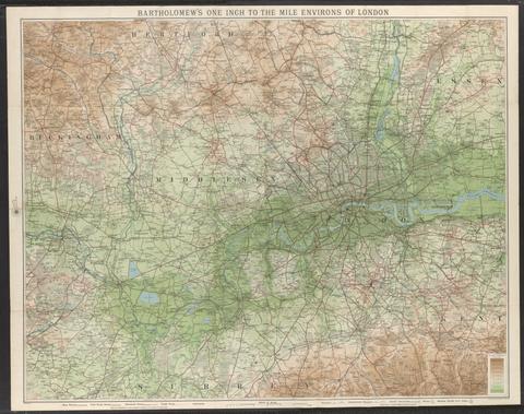
Bartholomew's one inch to the mile environs of London
[not before 1921]
2
Saxton, Christopher, 1542?-
[The travellers guide
[1686?]
3
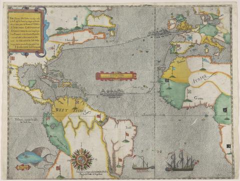
Boazio, Baptista
The famouse West Indian voyadge made by the Englishe fleete of 23 shippes and barkes
[1589?]
4
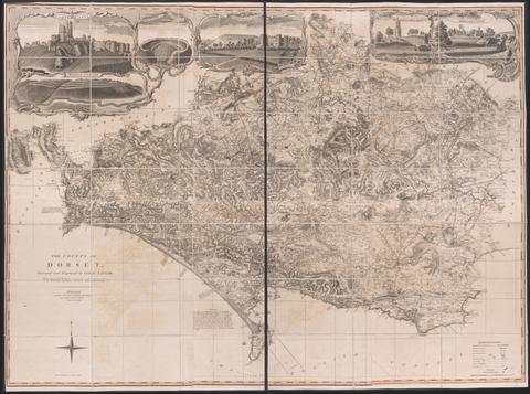
Taylor, Isaac, 1730–1807
The county of Dorset
June 1st, 1795
5
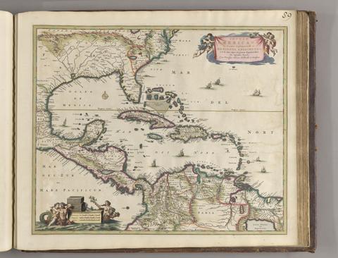
Visscher, Nicolaes, 1649–1702
Insulae Americanae in Oceano Septentrionali ac regiones adiacentes
ca. 1682]
6
Valck, G. (Gerard), 1651–1726
Africa
[ca. 1686?]
7
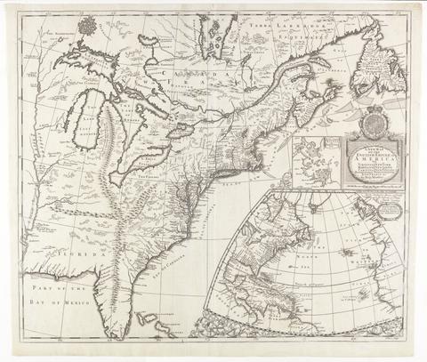
Morden, Robert, approximately 1650–1703
A new map of the English empire in America
[ca. 1695]
8
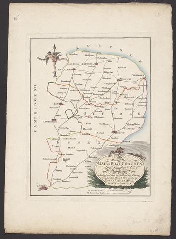
Boulton, George
The route of the mail & post coaches, George Boulton & Co. proprietors
[between 1796 and 1809]
9
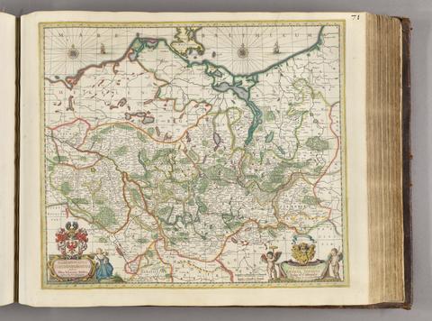
Gothus, Olaus Joannis, 1600–1644
Marchionatus Brandenburgicus
[ca. 1681]
10
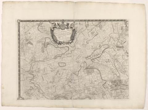
Rocque, John, -1762
The environs of London
[1763]
11
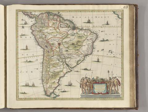
Jansson, Jan, 1588–1664
Americae pars meridionalis
[between 1641 and 1680]
12
Leslie, John, 1527–1596
Scotiae Regni Antiqvissimi Accvrata Descriptio
MDLXXVIII [1578]
13
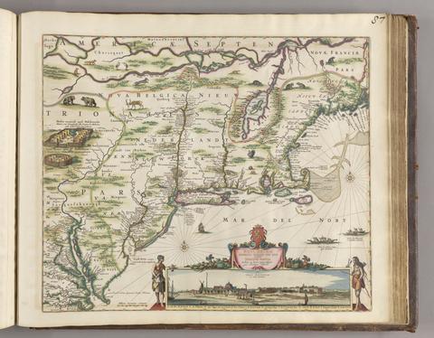
Visscher, Nicolaes, 1618–1679
Novi Belgii Novaeque, Angliae nec non partis Virginiae tabula
[ca. 1684]
14
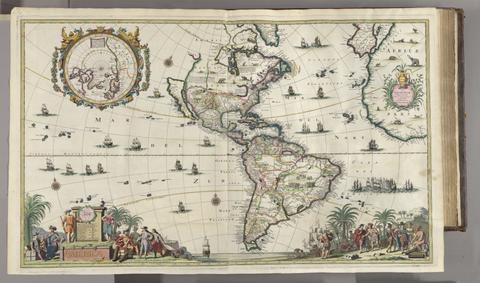
Valck, G. (Gerard), 1651–1726
America
[ca. 1686]
15
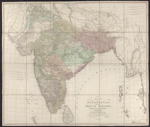
Rennell, James, 1742–1830
A map of Hindoostan or the Mogul Empire
1788
16
Erich, Adolar, 1559–1634
Thuringia landgraviatus
[1650?]
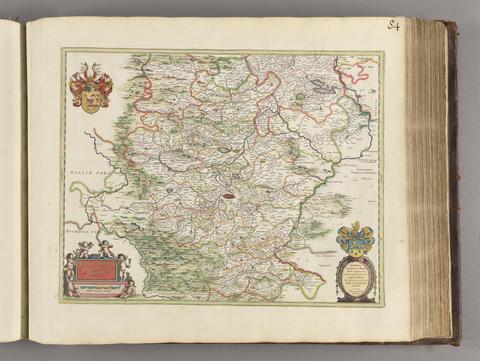
17
Morden, Robert, approximately 1650–1703
A new mapp of England Scotland and Ireland
[1678]
18
C. & J. Greenwood
Map of the county of Kent,
July 4th, 1829
19
Edward Stanford Ltd
Stanford's map of central London
1927
20
Froggett, John, active 1808–1821
Froggett's survey of the country thirty miles round London, 1836
[1836]
21
Rocque, John, -1762
A map of the county of Middlesex
1757
22
Goos, Pieter, approximately 1616–1675
West-Indische paskaert
[approximately 1660]
23
Wyld, James, 1812–1887
Wyld's military map of the theatre of war
[1859?]
24
Edward Stanford Ltd
Stanford's half-inch map of the battle front between the Somme and Soissons
1917
25
Speed, John, 1552?-1629
America with those known parts in that unknowne worlde both people and manner of buildings
[1662?]
26
Rapkin, J.
Overland route to India
[1851]
27
Peacock, W. (William), -1910
Peacock's Superior dissected maps
[between 1875 and 1909]
28
Cambridge Shire
[1695?]
29
Great Britain. Ordnance Survey
[Dunmow]
[not before 1862]
30
Great Britain. Ordnance Survey
[Cambridge]
1st June 1836
31
Geographers' A-Z Map Company
Centre section of the 9 sheet master plan of London
[1995]
32
Great Britain. Ordnance Survey
[Norwich]
January 1st 1838
33
Perrot, A. M. (Aristide Michel), 1793–1879
Carte pittoresque et maritime de la France
1841
34
Rocque, John, -1762
A map of the kingdom of Ireland
[between 1762 and 1773]
35
Whitbread, J
Whitbread's new plan of London
1851
36
Stanford, Edward, 1827–1904
Stanford's library map of London and its suburbs
1862
37
Great Britain. Ordnance Survey
[Downham]
1st March 1824
38
Arrowsmith, Aaron, 1750–1823
Map of the Province of Malabar by A. Arrowsmith
1809
39
Cary, John, approximately 1754–1835
A new map of Leicestershire
Sepr. 28,1801
40
Faden, William, 1749–1836
The sea of Marmara or Propontis
Jany. 11th, 1786
41
Ptolemy, active 2nd century
Claudii Ptholemaei Alexandrini Liber geographiae cum tabulis et universali figura et cum additione locorum quae recentioribus reperta sunt diligenti cura emendatus et impressus
Anno Domini. M.D.XI. die. xx. mensis Martii. [March 22, 1511]
42
Mitchell, John, 1711–1768
A map of the British colonies in North America
[1775?]
43
Faden, William, 1749–1836
A topographical map of the county of Norfolk
1797
44
Andrews, John, 1736–1809
A topographical map of Wiltshire
[1773]
45
Dury, Andrew
A topographical map of Hartford-shire, from an actual survey
[1782]
46
Saxton, Christopher, 1542?-
Wiltshire, wth. Salisbury citty & Stone heng described ano. 1689
[approximately 1715?]
47
J. Pigot & Co
Somersetshire / engraved on steel by Pigot & Co., Manchester
[1831]
48
Arrowsmith, Aaron, 1750–1823
A new map of Mexico and adjacent provinces
1810
49
Snell, Robert, fl. 1756–1785
To the nobility, gentry, clergy and others, this map of the county of Monmouth, is most humbly inscribed
1785
50
Great Britain. Ordnance Survey
[Swansea]
[not before 1862]
51
J. & C. Walker (Firm)
England & Wales
1837
52
Greenough, George Bellas, 1778–1855
A geological map of England & Wales
November 1st, 1819 [that is, 1820]
53
Seutter, Matthaeus, 1678–1756
Recens edita totius Novi Belgii, in America Septentrionali siti
[1730]
54
Cassini, César-François, 1714–1784
Carte de France
1744-1760
55
Carrington, F. A. (Frederick Augustus), 1801–1860
A map of Scotland
1856
56
Cassini, César-François, 1714–1784
A map of the kingdom of France
Augt. 2nd. 1838
57
Arrowsmith, Aaron, 1750–1823
Map of America
4th September 1804
58
Cheffins, Charles F
Cheffins's map of the English & Scotch railways
[1843]
59
Gwynn, John, 1713–1786
A plan for rebuilding the city of London, after the great fire in 1666
[1749 October 3]
60
Greenough, George Bellas, 1778–1855
A geological map of England & Wales
November 1st, 1819 [that is, 1820]
61
G.W. Bacon & Co
Bacon's large print map of London and suburbs
[ca. 1910?]
62
Arrowsmith, Aaron, 1750–1823
Map of lower Egypt
1807
63
Great Britain. Ordnance Survey
Part the first of the general survey of England and Wales containing the whole of Essex
1805]
64
Stanford, Edward, 1827–1904
Stanford's map of the roads &c. between Odessa, Nikolaief, Perekop, Simferopol and Sebastopol
1855
65
Mercator, Michael, d. 1600
America, siue, India Nova
between 1613 and 1630]
66
Peacock, W. (William), -1910
Scotland
[between 1901 and 1909?]
67
Morden, Robert, approximately 1650–1703
England
[1695?]
68
Evans, Lewis, 1700?-1756
A map of Pensilvania, New-Jersey, New-York, and the three Delaware counties
1749
69
The railways in Great Britain
[between 1840 and 1862]
70
Arrowsmith, Aaron, 1750–1823
Chart of the West Indies and Spanish Dominions in North America
[1810]
71
A map of the Environs of Constantinople ... A. Arrowsmith 1801 and 1804
1804
72
Great Britain. Ordnance Survey
[Dunwich]
August 7th, 1837
73
Arrowsmith, Aaron, 1750–1823
Map of South Italy and adjacent coasts
1807
74
Mitchell, John, 1711–1768
A map of the British and French dominions in North America
[that is, 1757]
75
Senex, John, -1740
A new map of the English empire in America
1719
76
Jefferys, Thomas, -1771
The American atlas, or, A geographical description of the whole continent of America
MDCCLXXVI [1776]
77
Overton, Henry, 1675 or 1676–1751
America
[after 1727]
78
Hodskinson, Joseph
The county of Suffolk
1783
79
Arrowsmith, Aaron, 1750–1823
To Captain Carmichael Smyth of the Corps of Royal Engineers who obligingly furnished many of the materials this chart of the Cape of Good Hope is inscribed
1805
80
Arrowsmith, Aaron, 1750–1823
Ireland
1811
81
C. & J. Greenwood
Map of the county palatine of Durham,
Jan. 26, 1831
82
Rapkin, J
England and Wales
[1851?]
83
Gardner, W. R.
New and Improved map of England and Wales, including the principal part of Scotland
16th. April 1823
84
Hogenberg, Frans, approximately 1539–1590
Londinum feracissimi Angliae Regni metropolis
[1574]
85
Doornick, Marcus Williamsz
Platte grondt der Vebrande Stadt London
1666
86
Great Britain. Ordnance Survey
[Old series Ordnance Survey maps of England and Wales]
[1839-1874?]
87
Saxton, Christopher, 1542?-
Southamtoniae comitatus (preter insulas Vectis, Jersey et Garnsey quae sunt partes eius dem comitatus) cum suis undiq[ue] confinibus, oppidis, pagis, villis, et fluminibus vera descriptio
[1575]
88
C. & H. Greenwood
Map of the county of Monmouth
1831
89
Ortelius, Abraham, 1527–1598
Maris Pacifici (quod vulg ̣Mar del Zur)
1589
90
Senex, John, -1740
A new map of Virginia, Mary-Land, and the improved parts of Pennsylvania & New Jersey
1719
91
Evans, Lewis, 1700?-1756
A general map of the middle British colonies in America
1771
92
Stanford, Edward, 1827–1904
A new map of metropolitan railways, tramways & miscellaneous improvements
January 1st, 1874
93
Stockwell, Susan
S. Stockwell underground map
[2012]
94
Valck, G. (Gerard), 1651–1726
Les isles Britanniques, qui contiennent les Royaumes d'Angleterre, Escosse, et Irlande
[approximately 1695]
95
Great Britain. Ordnance Survey
[Colchester]
1st Novr. 1838
96
Mogg, Edward
Map of the London & Birmingham Railway with the country in its vicinity
Sepr. 17th. 1838
97
Crumpled city London
2011
98
Valck, G. (Gerard), 1651–1726
Magna Britannia, aut Anglia, Scotia et Hibernia, quarum prior divisa in septem Regna, sive Provincias, dictas Northumbriam, Merciam, Angliam Orient. Essexiam, Cantium, Sussexiam, Westsexiam, et Princi. Walliae. posterior in Septent. et Austr. Scotiam. postrema in quatuor Provincias Ultoniam, Lageniam, Momoniam, et Conagtiam