Search Constraints
You searched for:
Period 17th century
Remove constraint Period: 17th centuryAssociated Places New England
Remove constraint Associated Places: New EnglandClassification Maps & Atlas (printed)
Remove constraint Classification: Maps & Atlas (printed)Search Results

- Date:
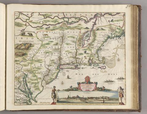
- [ca. 1684]
- Physical Description:
- 1 map ; 46.1 x 55.9 cm, on sheet 52.4 x 62.9 cm
- Collection:
- Rare Books and Manuscripts

- Date:
- [19--?]
- Physical Description:
- 1 map ; 48 x 59 cm., on sheet 64 x 78 cm.
- Collection:
- Rare Books and Manuscripts

- Date:
- [1676]
- Physical Description:
- 1 map ; 38 x 50 cm., on sheet 44 x 56 cm.
- Collection:
- Rare Books and Manuscripts