Search Constraints
You searched for:
Form genre ss Maps.
Remove constraint Form genre ss: Maps.Image Use Free to Use
Remove constraint Image Use: Free to UseClassification Maps & Atlas (printed)
Remove constraint Classification: Maps & Atlas (printed)Search Results
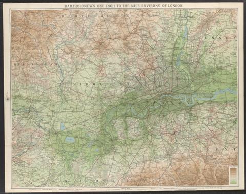
- Date:
- [not before 1921]
- Physical Description:
- 1 map : color, mounted on linen ; 70 x 91 cm, folded to 19 x 10 cm
- Collection:
- Rare Books and Manuscripts
![The famouse West Indian voyadge made by the Englishe fleete of 23 shippes and barkes [cartographic material] : wherin weare gotten the townes of St . Iago, Sto. Domingo, Cartagena and St. Augustines : the same beinge begon from Plimmouth in the moneth of September 1585 and ended at Portesmouth in Iulie 1586 : the whole course of the saide viadge beinge plainlie described by the pricked line / newlie come forth by Baptista B.](https://media.collections.yale.edu/thumbnail/ycba/b67e0d67-e748-494a-ba84-e1105f721bb5)
- Date:
- [1589?]
- Physical Description:
- [5] sheets : maps (engravings)
- Collection:
- Rare Books and Manuscripts
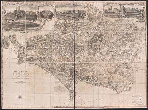
- Date:
- June 1st, 1795
- Physical Description:
- 1 map on 6 sheets : hand colored ; sheets 53 x 44 cm
- Collection:
- Rare Books and Manuscripts
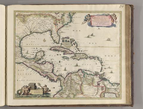
- Date:
- ca. 1682]
- Physical Description:
- 1 map : hand col. ; 44.8 x 55.1 cm.
- Collection:
- Rare Books and Manuscripts
![Africa [cartographic material].](https://media.collections.yale.edu/thumbnail/ycba/f326eddf-1bc5-4bb4-83a0-d7ac0f9b6f40)
- Date:
- [ca. 1686?]
- Physical Description:
- 1 map : hand colored ; 57 x 94 cm, on sheet 62 x 102 cm
- Collection:
- Rare Books and Manuscripts
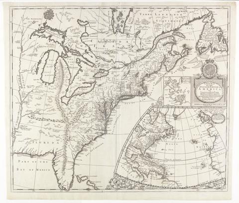
- Date:
- [ca. 1695]
- Physical Description:
- 1 map : engraving ; 51 x 60 cm
- Collection:
- Rare Books and Manuscripts
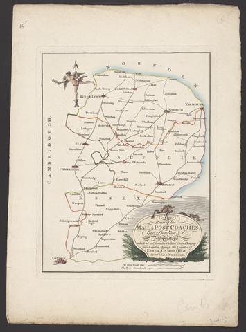
- Date:
- [between 1796 and 1809]
- Physical Description:
- 1 map : engraving ; 26 x 20 cm, on sheet 38 x 28 cm
- Collection:
- Rare Books and Manuscripts
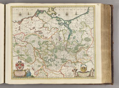
- Date:
- [ca. 1681]
- Physical Description:
- 1 map ; 46 x 52 cm
- Collection:
- Rare Books and Manuscripts
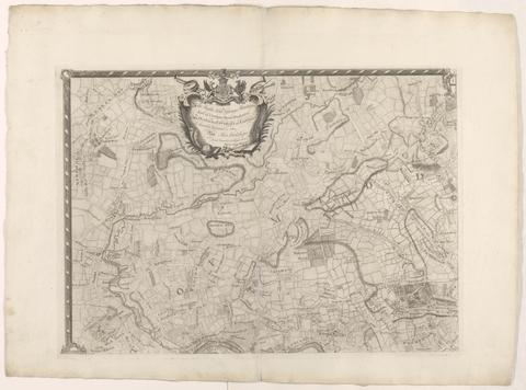
- Date:
- [1763]
- Physical Description:
- 1 map on 4 sheets ; 86 x 125 cm., sheets 58 x 79 cm.
- Collection:
- Rare Books and Manuscripts
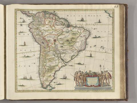
- Date:
- [between 1641 and 1680]
- Physical Description:
- 1 map ; 45 x 52 cm
- Collection:
- Rare Books and Manuscripts

- Date:
- MDLXXVIII [1578]
- Physical Description:
- 1 map : engraving ; 40.5 x 53.5 cm, on sheet, 41.5 x 54.5 cm
- Collection:
- Rare Books and Manuscripts
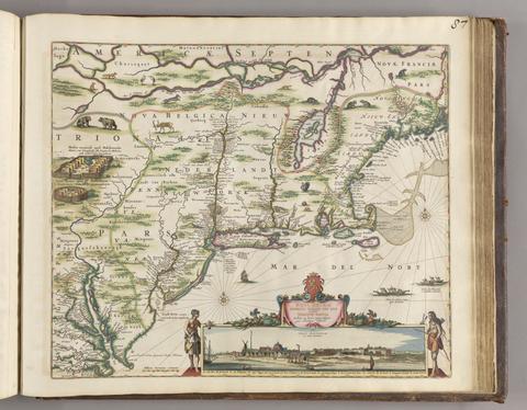
- Date:
- [ca. 1684]
- Physical Description:
- 1 map ; 46.1 x 55.9 cm, on sheet 52.4 x 62.9 cm
- Collection:
- Rare Books and Manuscripts
![America [cartographic material].](https://media.collections.yale.edu/thumbnail/ycba/6f6a5b25-3bf2-4151-a3f1-3e9133dae84b)
- Date:
- [ca. 1686]
- Physical Description:
- 1 map : hand colored ; 56.5 x 95 cm, on sheet 63.5 x 102 cm
- Collection:
- Rare Books and Manuscripts
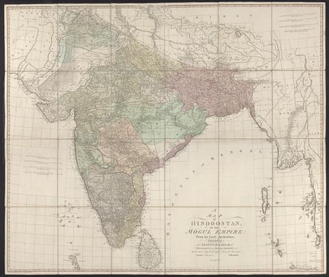
- Date:
- 1788
- Physical Description:
- 1 map : hand col., mounted on linen ; 105 x 124 cm., folded to 27 x 21 cm., in case 27 x 23 cm.
- Collection:
- Rare Books and Manuscripts
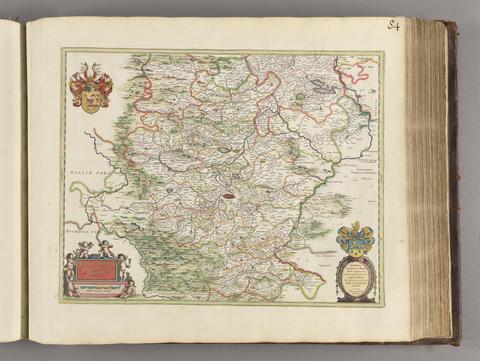
- Date:
- [1650?]
- Physical Description:
- 1 map; 40 x 51 cm
- Collection:
- Rare Books and Manuscripts