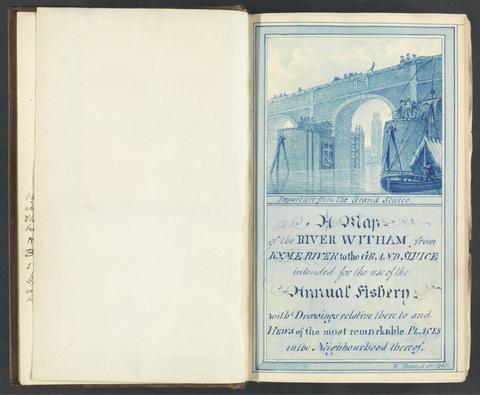
Search Constraints
You searched for:
Form genre ss Maps.
Remove constraint Form genre ss: Maps.Subject Period 18th century
Remove constraint Subject Period: 18th centurySearch Results

- Date:
- 1784-1800
- Physical Description:
- 2 v. ; ill. ; 22 cm.
- Collection:
- Rare Books and Manuscripts
![A plan of mathematical learning taught in the Royal Academy, Portsmouth : performed by a student there 177[blank].](https://media.collections.yale.edu/thumbnail/ycba/c0aa2982-81d7-4478-bddd-d57c5423beee)
- Date:
- approximately 1798-1799
- Physical Description:
- 518 pages : illustrations, diagrams, maps ; 37 cm
- Collection:
- Rare Books and Manuscripts

- Date:
- 1759
- Physical Description:
- 510 pages : illustrations, diagrams, maps ; 30 cm
- Collection:
- Rare Books and Manuscripts

- Date:
- 1807
- Physical Description:
- 1 map on 2 sheets : hand col. ; 120 x 157 cm., sheets 65 x 164 cm. and 66 x 164 cm.
- Collection:
- Rare Books and Manuscripts

- Date:
- 1794
- Physical Description:
- 2 volumes : maps, plans ; 28 cm (4to)
- Collection:
- Rare Books and Manuscripts

- Date:
- MDCCLXXXIX [1789]
- Physical Description:
- 2 volumes : illustrations ; 21 cm
- Collection:
- Rare Books and Manuscripts

- Date:
- MDCCLXXXIV [1784]
- Physical Description:
- 24 pages, [21] folded leaves of plates : illustrations, plans ; 21 cm
- Collection:
- Rare Books and Manuscripts

- Date:
- 1807
- Physical Description:
- xiii, [2], 16-22, 499, [7] pages : illustrations, maps ; 28 cm
- Collection:
- Rare Books and Manuscripts

- Date:
- [1762?]
- Physical Description:
- 1 map on 4 sheets : hand colored ; 87 x 89 cm
- Collection:
- Rare Books and Manuscripts