Search Constraints
You searched for:
Associated Places Asia
Remove constraint Associated Places: AsiaSubject Terms topographic map
Remove constraint Subject Terms: topographic mapSearch Results
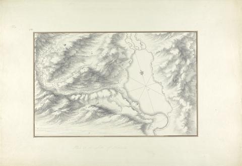
- Date:
- ca. 1750
- Materials & Techniques:
- Black ink with gray wash over graphite on moderately thick, moderately textured, beige laid paper
- Dimensions:
- Sheet: 14 13/16 x 21 7/16 inches (37.7 x 54.5 cm)
- Collection:
- Prints and Drawings
- Credit Line:
- Yale Center for British Art, Paul Mellon Collection
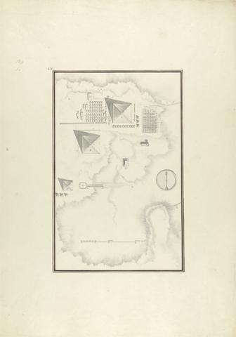
- Date:
- ca. 1750
- Materials & Techniques:
- Gray wash with black and brown ink over graphite on moderately thick, moderately textured, beige laid paper
- Dimensions:
- Sheet: 21 1/4 x 14 15/16 inches (53.9 x 37.9 cm)
- Collection:
- Prints and Drawings
- Credit Line:
- Yale Center for British Art, Paul Mellon Collection
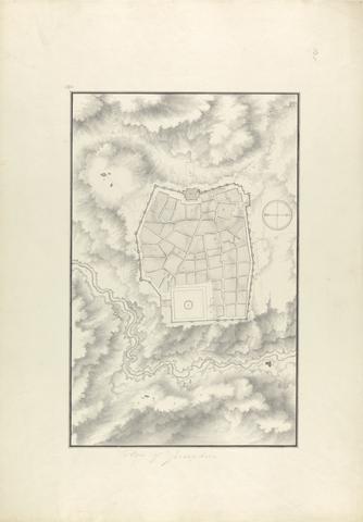
- Date:
- ca. 1750
- Materials & Techniques:
- Gray wash with black and brown ink over graphite on moderately thick, moderately textured, beige laid paper
- Dimensions:
- Sheet: 21 7/16 x 15 inches (54.5 x 38.1 cm)
- Collection:
- Prints and Drawings
- Credit Line:
- Yale Center for British Art, Paul Mellon Collection
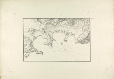
- Date:
- ca. 1750
- Materials & Techniques:
- Black ink with gray wash over graphite on moderately thick, moderately textured, beige laid paper
- Dimensions:
- Sheet: 14 3/4 x 21 1/8 inches (37.4 x 53.7 cm)
- Collection:
- Prints and Drawings
- Credit Line:
- Yale Center for British Art, Paul Mellon Collection
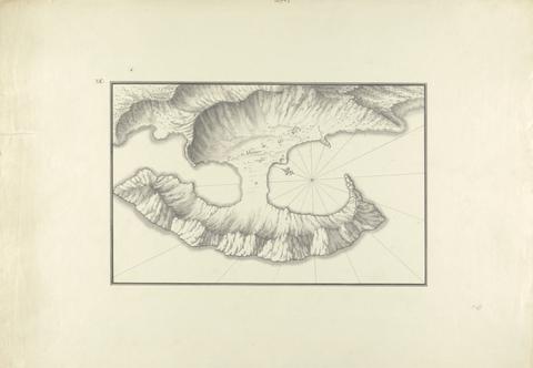
- Date:
- ca. 1750
- Materials & Techniques:
- Black ink with gray wash over graphite on moderately thick, moderately textured, beige laid paper
- Dimensions:
- Sheet: 14 5/8 x 21 1/4 inches (37.2 x 53.9 cm)
- Collection:
- Prints and Drawings
- Credit Line:
- Yale Center for British Art, Paul Mellon Collection
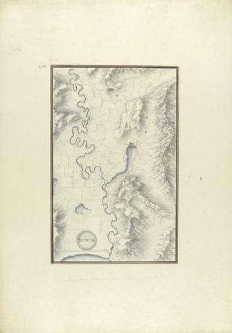
- Date:
- ca. 1750
- Materials & Techniques:
- Gray wash with black and brown ink over graphite on moderately thick, moderately textured, beige laid paper
- Dimensions:
- Sheet: 21 5/16 x 15 1/16 inches (54.1 x 38.3 cm)
- Collection:
- Prints and Drawings
- Credit Line:
- Yale Center for British Art, Paul Mellon Collection