Search Constraints
You searched for:
Associated Places Bristol (England)
Remove constraint Associated Places: Bristol (England)Classification Maps & Atlas (printed)
Remove constraint Classification: Maps & Atlas (printed)Search Results

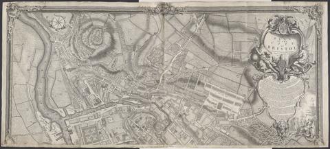
- Date:
- 1743
- Physical Description:
- 1 map on 2 sheets ; 100 x 228 cm., sheets 110 x 122 cm.
- Collection:
- Rare Books and Manuscripts

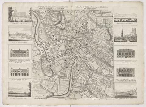
- Date:
- 1750
- Physical Description:
- 1 map ; 48 x 45 cm., on sheet 57 x 78 cm.
- Collection:
- Rare Books and Manuscripts

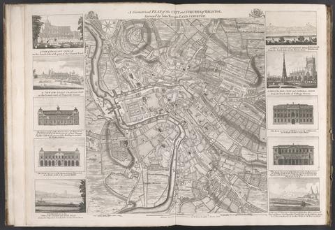
- Date:
- [175-?]
- Physical Description:
- 1 map : ill. ; 48 x 45 cm., on sheet 55 x 75 cm.
- Collection:
- Rare Books and Manuscripts