Search Constraints
You searched for:
Associated Places Dorset (England)
Remove constraint Associated Places: Dorset (England)Image Available Available
Remove constraint Image Available: AvailableClassification Maps & Atlas (printed)
Remove constraint Classification: Maps & Atlas (printed)Search Results

- Date:
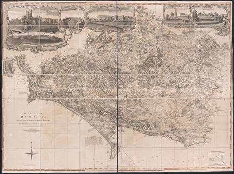
- June 1st, 1795
- Physical Description:
- 1 map on 6 sheets : hand colored ; sheets 53 x 44 cm
- Collection:
- Rare Books and Manuscripts