Search Constraints
You searched for:
Associated Places England
Remove constraint Associated Places: EnglandWidth [cm] 73
Remove constraint Width [cm]: 73Classification Prints
Remove constraint Classification: PrintsSearch Results
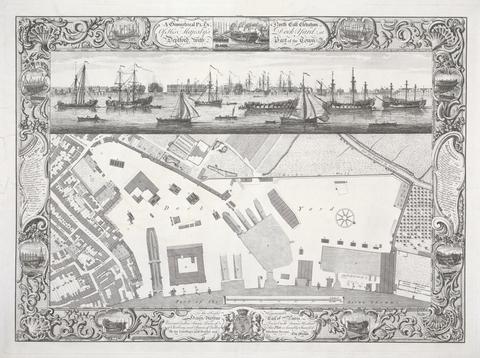
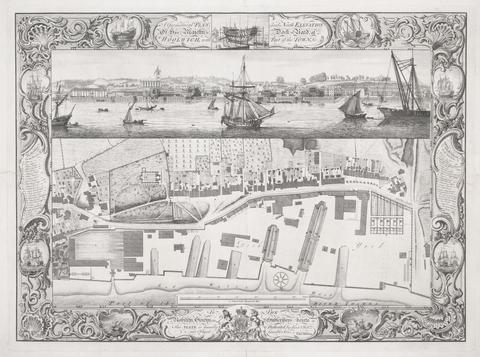
- Date:
- 1755
- Materials & Techniques:
- Line engraving on medium, moderately textured, cream laid paper
- Dimensions:
- Sheet: 21 1/2 × 28 9/16 inches (54.6 × 72.5 cm)
- Collection:
- Prints and Drawings
- Credit Line:
- Yale Center for British Art, Paul Mellon Collection
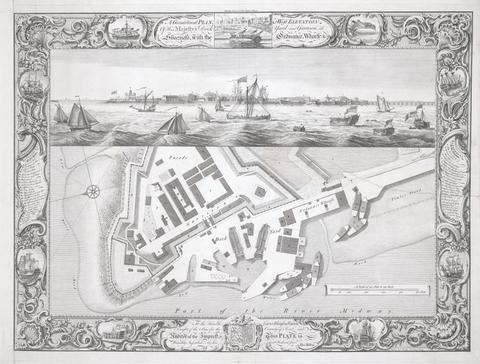
- Date:
- 1755
- Materials & Techniques:
- Line engraving on medium, moderately textured, cream laid paper
- Dimensions:
- Sheet: 22 1/8 × 28 11/16 inches (56.2 × 72.8 cm)
- Collection:
- Prints and Drawings
- Credit Line:
- Yale Center for British Art, Paul Mellon Collection
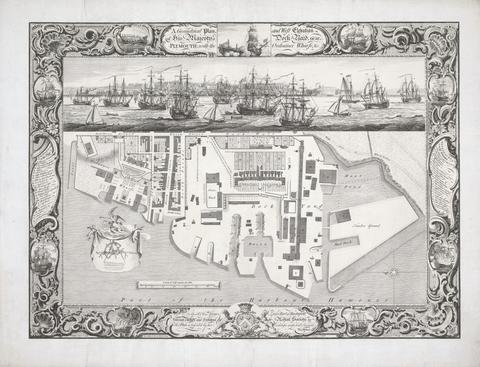
- Date:
- 1756
- Materials & Techniques:
- Line engraving on medium, moderately textured, cream laid paper mounted on laid paper
- Dimensions:
- Sheet: 22 1/16 × 28 13/16 inches (56 × 73.2 cm)
- Collection:
- Prints and Drawings
- Credit Line:
- Yale Center for British Art, Paul Mellon Collection
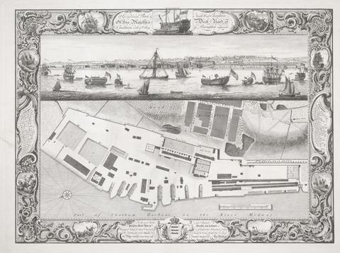
- Date:
- 1755
- Materials & Techniques:
- Line engraving on medium, moderately textured, cream laid paper
- Dimensions:
- Sheet: 22 1/8 × 28 13/16 inches (56.2 × 73.2 cm)
- Collection:
- Prints and Drawings
- Credit Line:
- Yale Center for British Art, Paul Mellon Collection
- Date:
- 1753
- Materials & Techniques:
- Line engraving on medium, moderately textured, cream laid paper
- Dimensions:
- Sheet: 22 1/8 × 28 9/16 inches (56.2 × 72.5 cm)
- Collection:
- Prints and Drawings
- Credit Line:
- Yale Center for British Art, Paul Mellon Collection
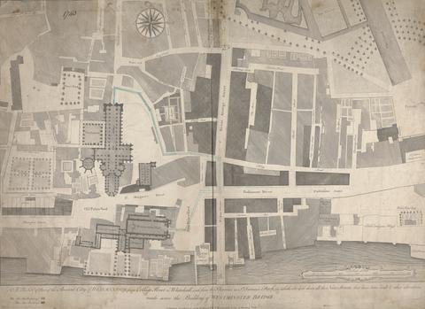
- Date:
- printed 1740, drawn ca. 1760
- Materials & Techniques:
- Line engraving marked with pen and black ink, blue wash, and graphite on moderately thick, slightly textured, cream laid paper
- Dimensions:
- Sheet: 20 15/16 × 28 3/4 inches (53.2 × 73 cm)
- Collection:
- Prints and Drawings
- Credit Line:
- Yale Center for British Art, Paul Mellon Collection