Search Constraints
You searched for:
Associated Places Europe
Remove constraint Associated Places: EuropeImage Use Free to Use
Remove constraint Image Use: Free to UseSubject Terms cartographic material
Remove constraint Subject Terms: cartographic materialSearch Results
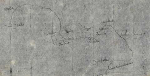
- Date:
- undated
- Materials & Techniques:
- Pen and black ink on thin, slightly textured, cream laid paper
- Dimensions:
- Sheet: 4 1/2 x 7 1/4 inches (11.4 x 18.4 cm)
- Collection:
- Prints and Drawings
- Credit Line:
- Yale Center for British Art, Paul Mellon Collection
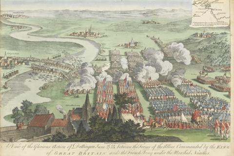
- Materials & Techniques:
- Hand-colored engraving
- Collection:
- Prints and Drawings
- Credit Line:
- Yale Center for British Art, Paul Mellon Collection

- Date:
- undated
- Materials & Techniques:
- Etching with hand coloring on moderately thick, slightly textured, cream wove paper
- Dimensions:
- Sheet: 13 13/16 x 12 5/8 inches (35.1 x 32 cm)
- Collection:
- Prints and Drawings
- Credit Line:
- Yale Center for British Art, Paul Mellon Collection