Search Constraints
You searched for:
Associated Places Europe
Remove constraint Associated Places: EuropeImage Use Free to Use
Remove constraint Image Use: Free to UseSubject Terms scale (rule)
Remove constraint Subject Terms: scale (rule)Search Results
1
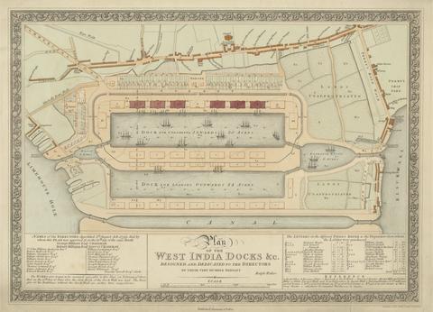
- Plan of the West India Docks
- 1802

2
- Map of Worcestershire Showing Western and Eastern Divisions
- undated

3
- A Plan for the Bank of England Designed by Theodore Jacobsen, Esqr
- undated