Search Constraints
You searched for:
Work Type intaglio print
Remove constraint Work Type: intaglio printImage Use Free to Use
Remove constraint Image Use: Free to UseSubject Terms cartographic material
Remove constraint Subject Terms: cartographic materialSearch Results
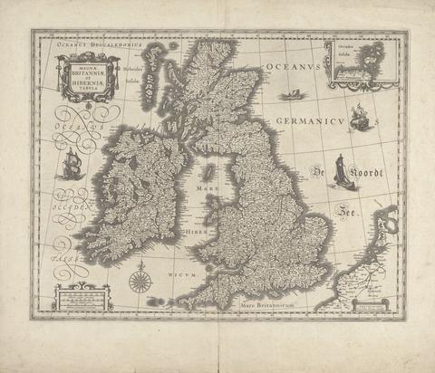
1
- Magnae Britanniae et Hiberniae Tabula
- 1634
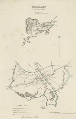
2
- Map of Bewdley from the Ordnance Survey
- undated

3
- Map of Worcestershire Showing Western and Eastern Divisions
- undated
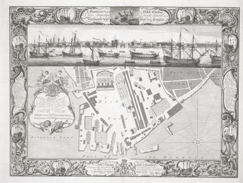
4
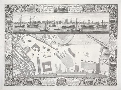
- Geometrical plan of his Majesty's Dockyard near Portsmouth
- 1754
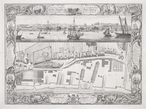
5
- Geometrical Plan of his Majesty's Dockyard, at Woolwich
- 1753
6
- Geometrical Plan of his Majesty's Dockyard, Deptford
- 1755
7
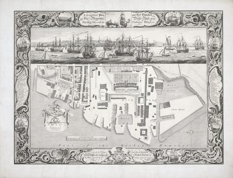
- Geometrical Plan of his Majesty's Dockyard, near Plymouth
- 1756
8
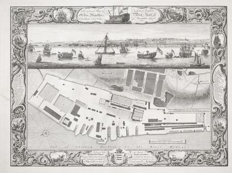
- Geometrical Plan of his Majesty's Dockyard, at Chatham
- 1755