Search Constraints
You searched for:
Period 19th century
Remove constraint Period: 19th centurySubject Terms Geography -- Study and teaching.
Remove constraint Subject Terms: Geography -- Study and teaching.Search Results

1
- The map of England and Wales with part of Scotland, France and Ireland, worked by Maria Harvey in the ninth year of age
- 1806
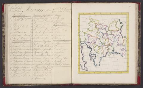
2
- A selection of maps
- 1818

3
- Récréations instructives
- [between 1830 and 1842]
4
- Voyage autour du monde
- [beween 1866 and 1872]
5
- The United Kingdom
- early 1840s?
6
- First course of maps
- approximately 1870
7
- Manuscript atlas,
- 1878
8
- Geographische Studien
- [circa 1870]