Search Constraints
You searched for:
Associated Places Great Britain
Remove constraint Associated Places: Great BritainSubject Terms Geography -- Study and teaching.
Remove constraint Subject Terms: Geography -- Study and teaching.Search Results

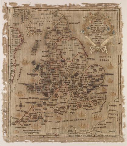
- Date:
- 1806
- Physical Description:
- 1 map : embroidery ; image 49.5 x 60 cm
- Collection:
- Rare Books and Manuscripts
- Credit Line:
- Yale Center for British Art, Gift of Mr. and Mrs. Kent Lydecker in honor of Helen B. Lydecker and Sandra Priest Rose.
![A plan of mathematical learning taught in the Royal Academy, Portsmouth : performed by a student there 177[blank].](https://media.collections.yale.edu/thumbnail/ycba/c0aa2982-81d7-4478-bddd-d57c5423beee)
- Date:
- approximately 1798-1799
- Physical Description:
- 518 pages : illustrations, diagrams, maps ; 37 cm
- Collection:
- Rare Books and Manuscripts

- Date:
- 1759
- Physical Description:
- 510 pages : illustrations, diagrams, maps ; 30 cm
- Collection:
- Rare Books and Manuscripts

- Date:
- early 1840s?
- Physical Description:
- 1 map : embroidery on linen ; visible image 27 x 21 cm, in frame 33 x 28 cm
- Collection:
- Rare Books and Manuscripts

- Date:
- [2015]
- Physical Description:
- xxii, 142 pages : illustrations (some color) ; 24 cm.
- Collection:
- Reference Library